Area: 11.8 ha
Slope: 18.6°
Aspect: S 22° E
Elevation: 488-747 m
Gage type: V-notch weir
Initial year: 1956

Treatment: In November 1999, wollastonite (CaSiO3), pelletized with a 4% lignosulfonate binder, was applied by helicopter in a effort to replace the calcium that has been depleted from soil over the last 50 years due to inputs of acid rain. Forty-five tons of wollastonite (1.2 tonnes Ca/ha) were added to W1 to increase the base saturation of soil from approximately 10% to 19%. The added wollastonite has a distinctive calcium to strontium ratio and strontium stable isotope ratio which will enable us to track the fate of the added material.
Objective: To evaluate the role of Ca supply in regulating the structure and function of base-poor forest and aquatic ecosystems.
Related Links:
Watershed 1 Wollastonite Application
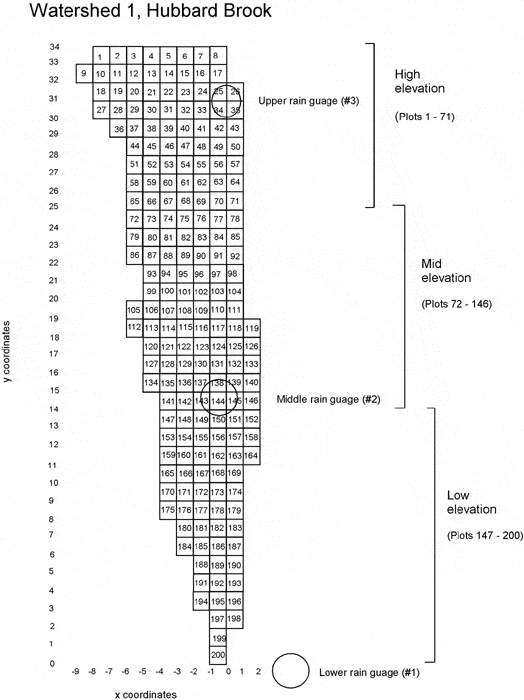
Watershed 1 Grid Map
Watershed 1 Grid Elevations
Datasets:
Daily streamflow
Streamwater chemistry
Nutrient Flux (Stream)
Nutrient Flux (Precipitation)
Sediment yield in weir basin
Phenology measurements
Canopy leaf chemistry
Total soil respiration